Ports and coastal infrastructures

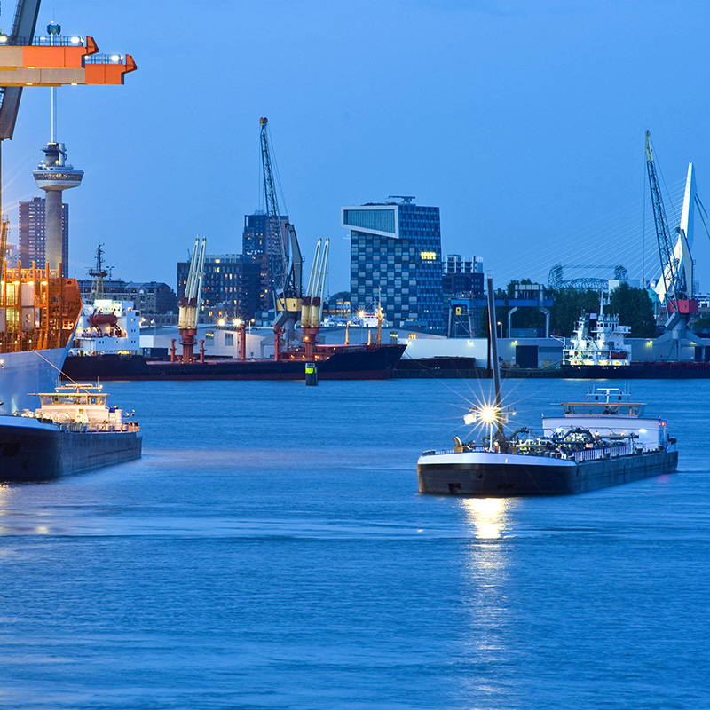
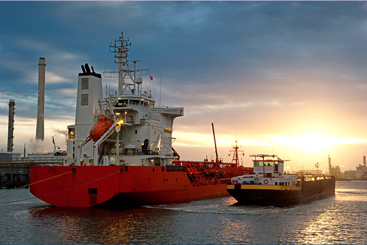
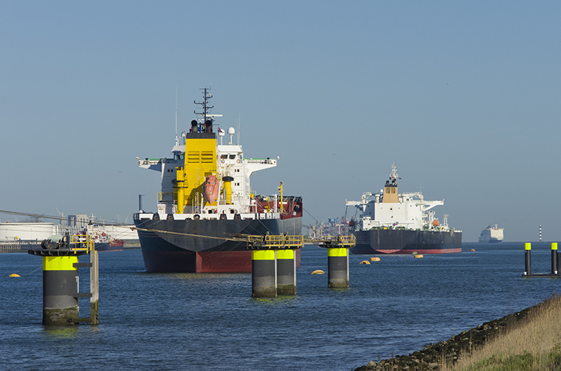
Ports and coastal infrastructures are dynamic areas where vessels are navigating in and out continuously. The increased importance of maritime transport causes more congested navigation channels and port areas. More traffic on these 'highways' of the seas leads to a higher probability of accidents, which is reflected by the significant increase of contact and collision incidents over the last few years.
Offshore Monitoring develops systems that aid in the reduction of risks of collision damage and piracy, resulting in less financial loss and increased security. You can read an overview of our current applications for ports and coastal infrastructures below.
Collision avoidance

APS-NET provides a high-resolution surveillance overview of objects at near distance. A variety of observations are made, including vessels, markers and debris that may inhibit the nominal operations within a coastal infrastructure area.
The system complements normal navigation radar, which has much less resolution and sensitivity but a longer range.
The Ladar system provides very high resolution imaging and also avoids collisions with submerged objects.
Bathymetry monitoring

Coastal infrastructures very often include (narrow) corridors for vessels to pass. Due to the dynamic nature of these coastal areas, shoals vary over time both in size and location. This leads to frequent grounding of sea vessels, which has a significant economic impact. Furthermore, even though GPS systems are accurate, there are many locations around the world where navigational charts are inaccurate.
The Ladar system gathers shallow depth observations in front of or around a vessel, which makes it possible to prevent groundings effectively.
Security and terrorism
APS-NET detects and localises targets that use wireless communication, such as VHF or short-band radio. In combination with other sensor data and behaviour characteristics the system can derive a real-time probability for potential terrorist threat. Combined with the Ladar system, both above water and below water security can be monitored 24/7.
High-precision docking aid
Vessels equipped with APS-NET benefit from a precise docking aid through high-resolution observations of the docking area. In addition, coastal and offshore infrastructures can use the same system for helicopter landing areas, crane operations, supply and offloading operations, and more.

