General cargo transport
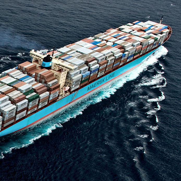
Offshore Monitoring develops monitoring systems and sensor solutions that significantly improve efficiency and reduce operational costs of general cargo transport. Furthermore, safety and security can be greatly improved with for example the detection of sea ice and floating debris, real-time detection of potential piracy threat and surveillance systems for search and rescue operations.
Fuel and emission reduction
Fuel prices for maritime transport are now from 20% up to 60% of total operational vessel costs in yearly averages, but with very significant and unpredictable variations that can cause severe financial impacts to the industry.
SpaceNav is achieving a significant fuel reduction in the operation of a ship due to the improved and accurate sail plans that are updated in real time. In effect, a virtual ship-specific IT centre continuously calculates the optimal sail heading and speed for each ship, based on the most up-to-date Earth observation data and numerous numerical models. Similarly, the emission of CO2 and other pollutants (such as sulphur dioxides, nitrogen oxides and fine particulate matter) can be reduced, resulting in less pollution along major trade routes and coastal areas. In particular, it allows the ship operator to become aware of the actual ship pollution and thereby provides means to comply with environmental regulations at any given geographical location.
Furthermore, SpaceNav makes it possible to optimise the sail plan according to operational requirements, such as port slot times, channel passing slots (Suez or Panama channel) and tide schedules (for instance, a VLCC needs high tide to enter and leave the port of Rotterdam). Traditionally, sea masters give a 10% time margin over the journey to ensure a timely arrival at their destination due to various risks, in particular uncertainty in the weather forecasts and sea state conditions. This causes large overheads as typically the ship operates at proportionally higher speed during the first hours and low speed during the last hours of a journey. With a more accurate sail plan based on real-time weather and sea state observations, time margins and fuel cost can be greatly reduced.
The Ladar and APS-NET systems monitor ocean waves, currents and winds that further improve sail plan models.
Detection of floating debris
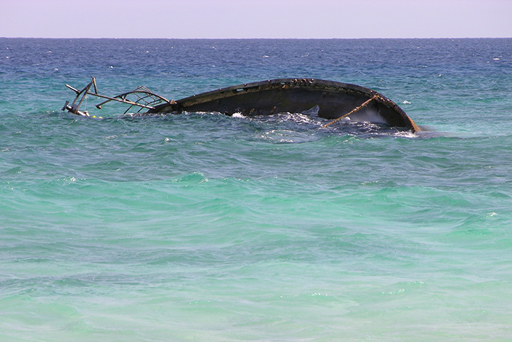
Floating debris like containers, miss-located navigation marks and drifting fishing equipment along the main sailing routes causes a significant financial loss due to unexpected repairs (mostly yard repairs), stop or delay in operation or excessive fuel costs (for instance, by towing a fishing net across the Atlantic).
For example, at any given time there are up to 10.000 containers floating along these highways of the seas. These containers are lost by ships and occasionally hit by more than one vessel before they sink (as it has been the case in the English Channel). Moreover, containers tend to float just under the surface for a considerable period of time (up to 3 months before they sink) and can therefore not be detected by the human eye or a radar system.
The Ladar system can detect floating debris and other objects by continuously scanning the ocean surface layer, both for objects on the surface as well as objects below the surface.
APS-NET provides a high-resolution surveillance overview of objects at near distance. A variety of observations are made, including vessels, markers, floating ice, wave characteristics and oil spill observations. The system complements normal navigation radar, which has much less resolution and sensitivity but a longer range.
Prevention of groundings
The extent of sailable waters of the world is constantly increasing and includes waters that are poorly charted (i.e. Arctic, Antarctica, North West and North East Passage). In addition to the charts being far from correct, the ice in these areas and shoals in coastal areas (that vary over time both in size and location) are other challenges for master navigators to handle. A real-time monitoring system like Ladar continuously gathers bathymetric information of shoals and ice (both floating and permanent), which makes it possible to prevent groundings effectively.
High-precision docking aid
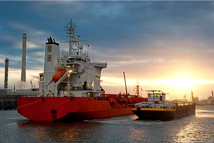
Vessels equipped with APS-NET benefit from a precise docking aid through high-resolution observations of the docking area. It supports dynamic positioning without the need to locate reflectors on adjacent objects.
The Ladar system allows for continuous monitoring of underwater objects, for example bathymetry, sea floor, or objects dropped on the sea floor in the docking area.
Maritime security
Modern pirates use small ships (skiffs), which are difficult to detect by conventional radar and sonar systems. The boats are typically made of wood and have a minimal vertical structure allowing them to only be visible for a short time on the wave crest and not in the through. The pirates onboard are typically heavily armed and occasionally carry modern technology as to learn about their target before attacking. The pirates then take hostage of or kill the crew, involving large ransom payouts and consequent large financial loss (due to the stop in operation, ransoms and loss of lives). In most cases over the last few years, the sea masters themselves have not been alerted in advance (by their observational sensors) but caught by surprise, even with an upgraded watch.
When equipped with the Ladar system, it will be possible to detect pirate vessels in time. Internal security procedures can be started and neighbouring vessels alerted before the pirates have a chance to attack.
APS-NET detects and localises targets that use wireless communication, such as VHF or short-band radio. In combination with other sensor data and behaviour characteristics the system can derive a real-time probability for potential piracy threat and identify in which direction and distance the threat is localised.
Sea ice detection
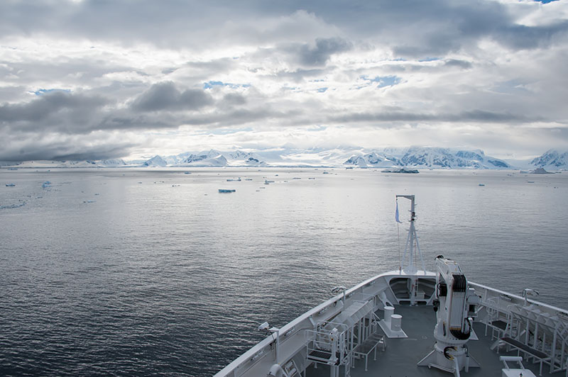
Ice bergs and floating sea ice in polar waters become increasingly problematic, particularly as the Northern Sea route and polar oil/gas production gain popularity. Current monitoring capabilities rely on satellite monitoring systems but their temporal (and spatial) coverage is insufficient for the needs of the maritime industry. In addition, mandatory on-board radar systems do not typically detect floating ice. This is due to the fact that most of the volume of the sea ice is floating below the sea surface, thus being hardly exposed to radar backscatter.
The characteristics of the Ladar system make it possible to detect floating sea ice, as the system is specifically designed to detect objects in the ocean surface layer.
Asset preservation and maintenance
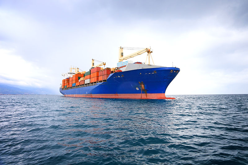
The life expectancy of commercial ships depends to a large extent on the stress the ship (and especially the hull of the ship) is experiencing at sea. Commercial ships are designed for a life expectancy of around 30 years. This can only be achieved with extensive maintenance of the hull according to the stress it encounters. Due to the fact that it is unknown today what the actual encountered stress of the ship is, maintenance cycles are based on regular intervals disregarding the actual need for maintenance. This can lead to serious safety/fatigue issues. On the other hand, with the appropriate observational data and fatigue models, maintenance cycles can be significantly optimised with SpaceNav to an 'as needed basis'. Furthermore, an explicit reduction of the exposure to heavy sea can significantly extend the life expectancy of the ship asset.
Search and rescue operations
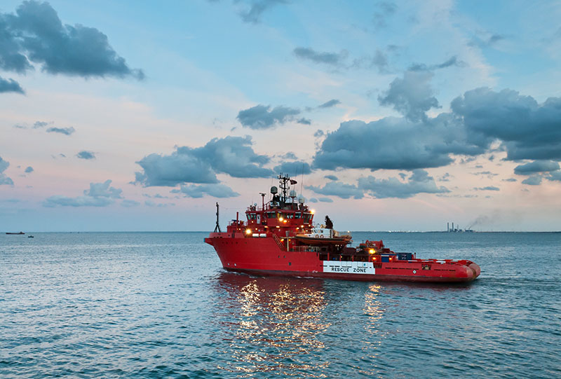
Any major disaster initiates search and rescue operations with the goal to detect and localise humans in the ocean surface layer, in order to save their lives.
A surveillance system like Ladar can help to detect humans in the ocean surface layer in a reduced amount of time. And time is crucial — it can decide between life and death.
With the aid of specific tags attached to life vests or surveillance suits, the location of persons can be easily determined with APS-NET. The system instantaneously detects when a person is falling overboard and automatically alarms the crew.

